
Bridges, Tunnels, & Ferries
Automobiles do just fine on dry land, but rivers and lakes pose a problem. It's usually not convenient for cars to go around them, and they can't easily ford them like cowboys on a cattle drive. The solution? Mankind's creative genius and engineering muscle fashioned ways for motorists to get over, under and through the water. And today the maps of America's bridges, tunnels and ferries have become popular collectibles.
A few of the bridges and tunnels in use today pre-date the automobile, but most were built to handle the increasing volume of automobile traffic as our country grew and prospered.
These maps are fascinating windows into the recent past. They are a blend of transportation history and local geography -- with a nod to commerce, because like many maps, these were basically advertisements for facilities whose revenue depended on usage. There may be fewer ferries operating today than in the past years, as the economic efficiencies of bridges and tunnels replace them, but the maps pictured with this post give a flavor for the interesting variety of these paper collectibles. This is actually a representative sampling; there are many more that could have been included. You can find dozens of other examples in our vast collection for sale in our online store. My apologies to any whose favorite bridges, tunnels or ferries have been left out.

NEW CASTLE-PENNSVILLE FERRY 
THOUSAND ISLANDS BRIDGE 
1941 CHESTER-BRIDGEPORT FERRY 
1933 Road Map Lk Champlain Bdg 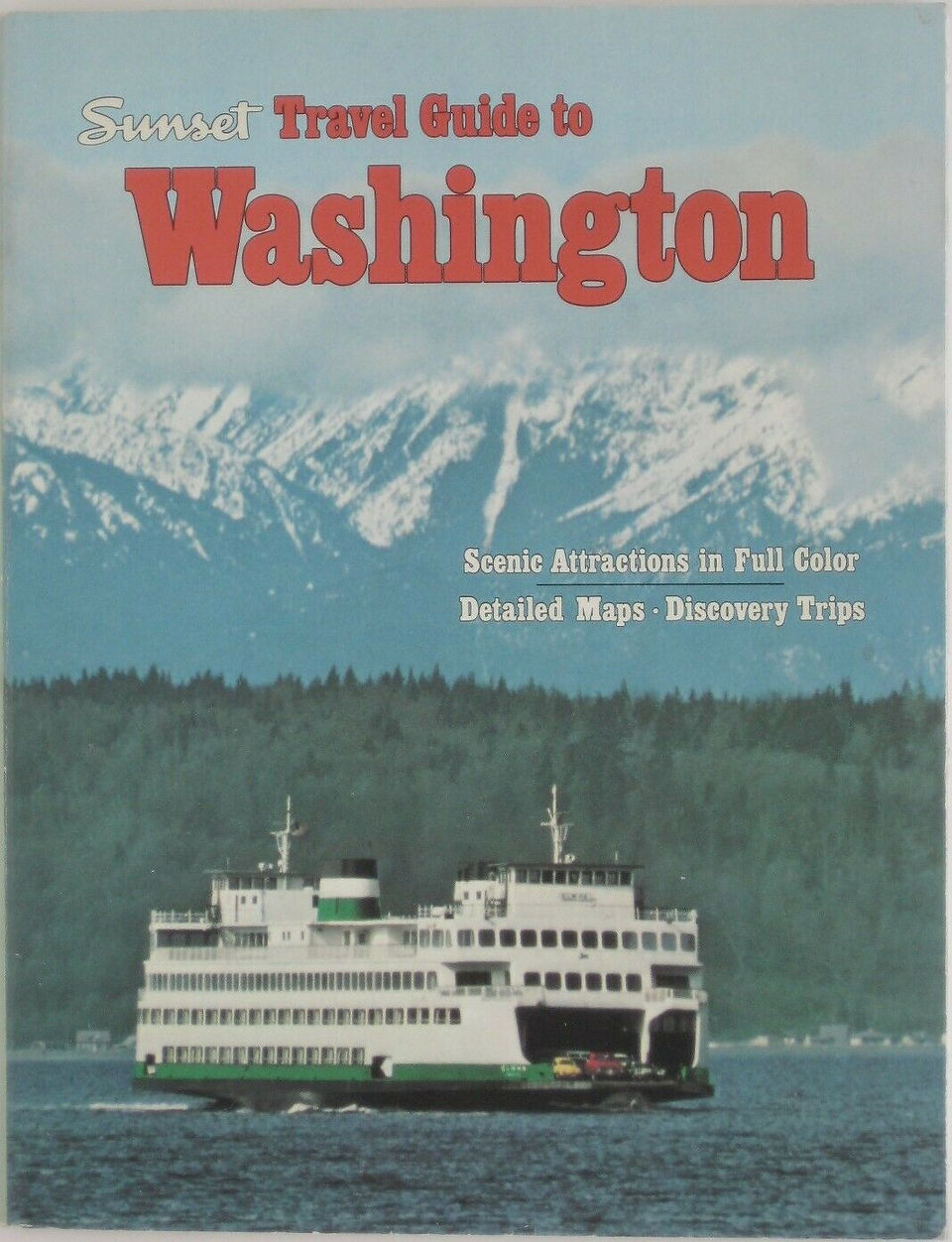
1978 Illustrated Travel Guide 
1986 Pennybacker Bridge 
Map Bridges Tunnels Ferries 
Brooklyn-Battery Tunnel 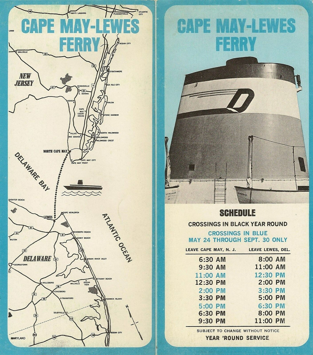
1970 CAPE MAY-LEWES FERRY 
Manhattan Long IslandVerrazano 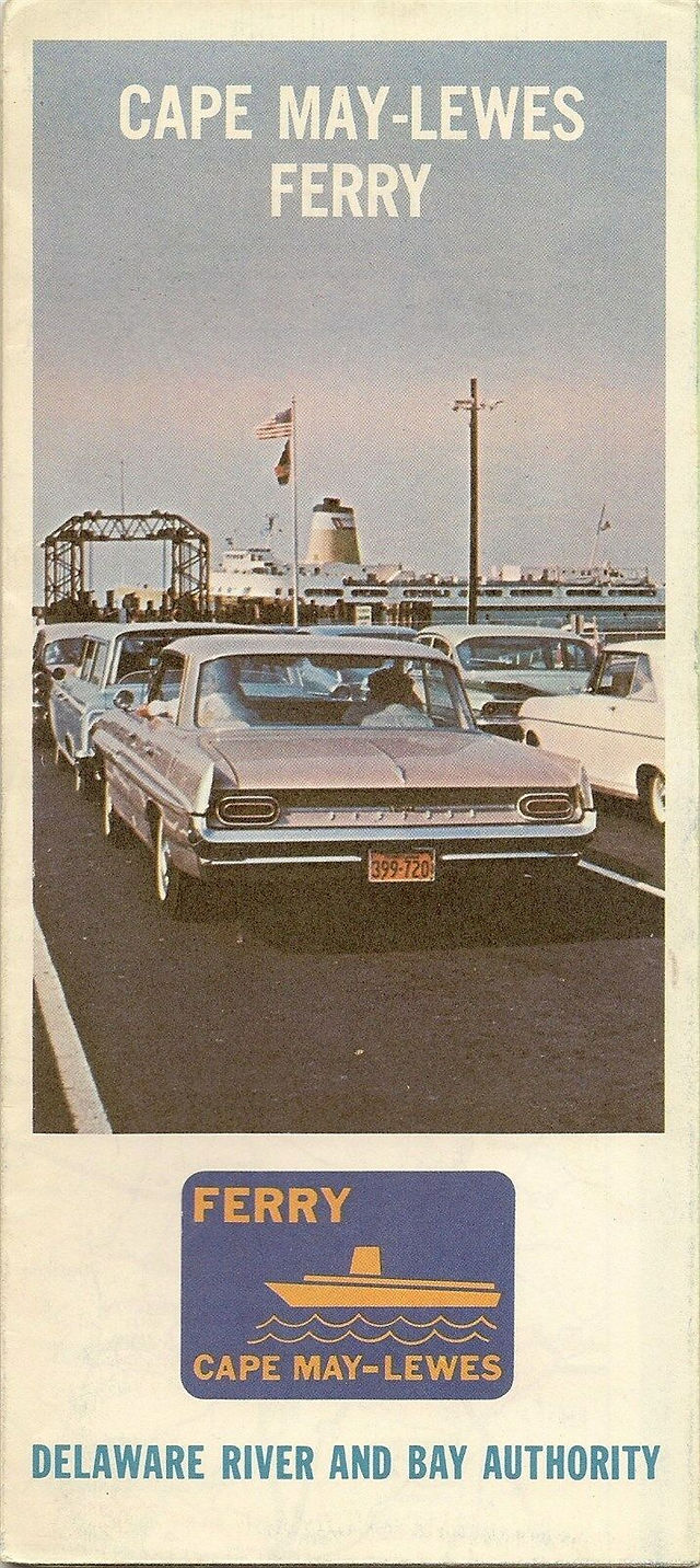
DELAWARE MEMORIAL BRIDGE 
FLORIDA Cuba Ferry 
1953 Washington State Ferries 
BURLINGTON-BRISTOL BRIDGE 
New York City Travel Guide
And many other maps, besides these promotional ones, depict bridges and tunnels. I even have a 1930s map of Wilmington, Delaware, which shows a tunnel to New Jersey -- a tunnel that was never built.
For lovers of maps in all their wonderful variety, I recommend membership in the Road Maps Collectors Association.
You are always welcome to contact us via our contact page about any aspect of map collecting... or to let me know about any bridge, tunnel or ferry maps you may have in your collection.


Comments