
Oil Company Road Maps
- Mar 5, 2021
- 2 min read
Their names evoke bygone days and high adventure on the highway: Barnsdall, Calumet, Deep Rock, El Paso, Fleet Wing, Gilmore, Lion, Litening, Loreco, Magnolia, Marland, Parco and dozens of others.
They are the smaller independent oil companies whose stations dotted the landscape of America in the 1920s and 30s but who have now passed into history.
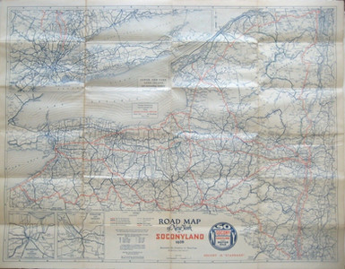
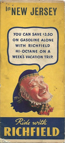
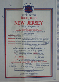
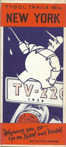
Yet this important part of our past lives on in the colorful, picturesque – and highly collectible – road maps which these companies produced for the nation’s motorists.
Oil company road maps as a general category are enjoying a burgeoning popularity among paper enthusiasts. An article in Mobilia and two books (Hitting the Road: The Art of the American Road Map, by Douglas A. Yorke, John Margolies and Eric Baker and Are We There Yet? A History of and Collectors Guide to the Gas Station Roadmap, by Ed Love elaborate on this trend and provide enjoyable reading.
But the particular category that really gets road map collectors pumped up are those maps that were issued by the smaller, independent and regional oil companies, brands that have disappeared from our highways. Some simply went belly up; others were swallowed whole or merged into larger, national companies. No standardized price guide exists for them because they are so rarely seen, but it is certainly true that demand has made them valuable paper collectibles.
Here are just a few examples:


To see all our oil company road maps available for purchase, click here.
For more information on smaller oil companies, ordering details for the two books mentioned, or a free guide to dating your road maps, you are welcome to contact us via our contact page.


Comments